-
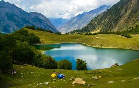
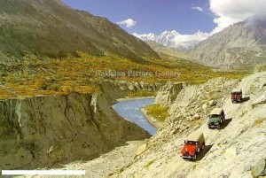
FeaturedKutwal Lake is a high-altitude lake located in the Haramosh valley of Gilgit district, in Gilgit-Baltistan, Pakistan. The valley of Haramosh is about 60 miles to the east of the district capital, Gilgit. The lake is surrounded by several high mountains, including Haramosh Peak, Laila Peak and Dobani Peak Read more...
-
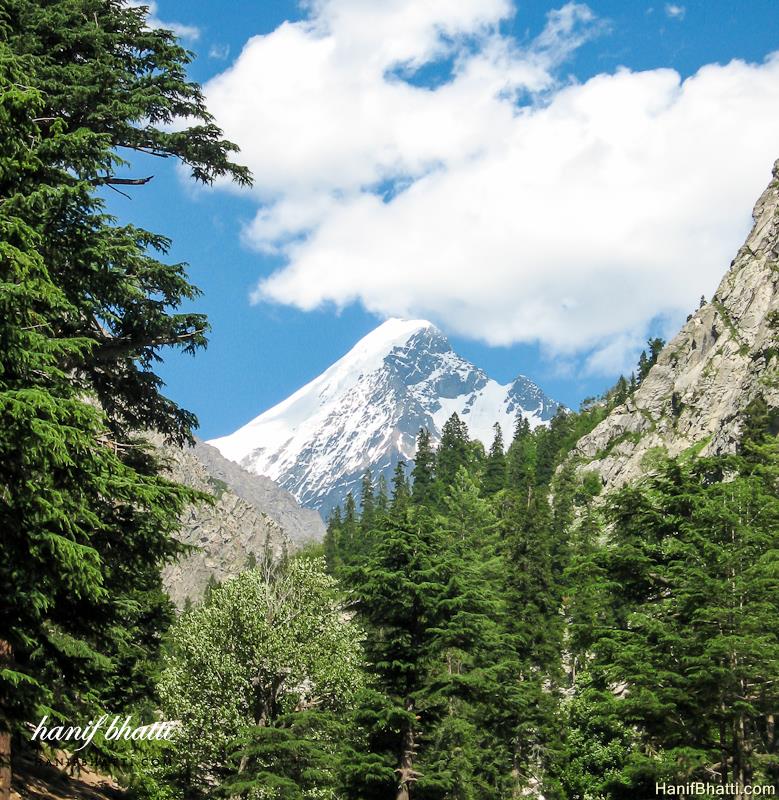
Falak Sar also known as Falak Sair) is the highest mountain peak in Ushu Valley of Swat, Pakistan at an elevation of 5,918 metres (19,416 ft), it is considered the highest peak of the Swat district in the Hindu Kush mountains range, followed by Mankial mountain peak. This mountain was climbed for the first time by W.K.A Berry and C.H. Tyndale-Biscoe Read more...
-
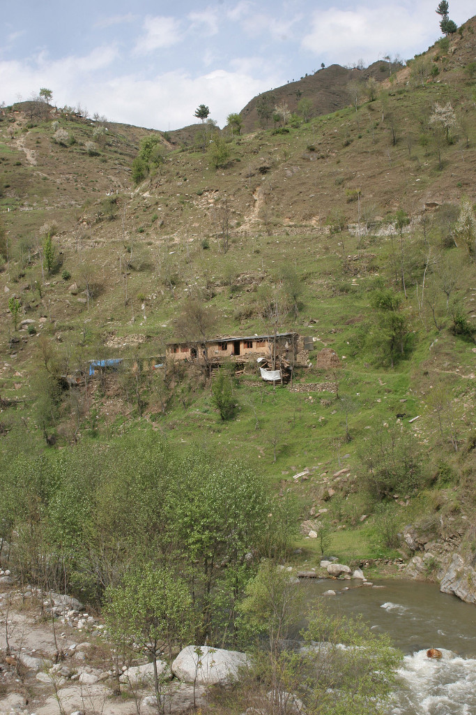
Jhelum Valley is a valley in Jhelum Valley District of Azad Kashmir, Pakistan. It is a 50 kilometers (31 mi) long valley located along with Jhelum river surrounded by lush green mountains. Hattian Bala is the main town and district headquarters of the valley. Some popular tourist attractions are Garhi Dupatta, Awan Patti, Chinari, Chakothi and Chikkar. The valley is connected Read more...
-
FeaturedSamahni valley is a valley situated on the LOC (line of control) that separates Azad Kashmir from Indian-held Kashmir. It is 35 km long and about 8 km in width and covers an area of 1270 km2. By covered area, it is the largest valley in Kashmir. Most of the inhabitants speak Pahari, with some Punjabi influence but Urdu is still spoken Read more...
-
FeaturedYasin , also known as Babaye-i-Yasen or Worshigum is a high mountain valley in the Hindu Kush mountains, in the northwestern Ghizer District in Gilgit-Baltistan, northern Pakistan. Yasin Tehsil is situated on its territory. Although sparsely populated, Yasin was of strategic importance because it leads to a high mountain pass, to Yarkhun in Chitral, and then to Broghol Pass, the Read more...
-
Nagar Valley (formerly State of Nagar) is a district with namesake town as district’s headquarter, in northmost autonomous territory of Gilgit–Baltistan. It was created in 2015 by subdividing the Hunza-Nagar District. It is located at 35°24’0N 73°48’0E with an altitude of 2688 metres (8822 feet). Today, the famous Karakoram Highway crosses Nagar, connecting Pakistan to China via the Khunjerab Pass. The Read more...
-
FeaturedSiran Valley, is a little-known valley, situated in Mansehra District, Khyber-Pakhtunkhwa, Pakistan. Like the neighbouring areas, this valley also suffered greatly from the earthquake which hit the region on 8 October 2005 The valley gets its name from the River Siran which flows through it. The valley was earlier known as Bhogarmang valley getting its name from village Bhogarmang centrally Read more...
-
Uli Biaho is a mountain near Trango Towers and Baltoro Glacier in the Gilgit–Baltistan area of Pakistan. It consists of two main peaks, Uli Biaho Tower (listed by Roskelley as 19,957 feet, and by Kopold as 6,109 metres or 20,043 feet); and Uli Biaho Peak (Kopold: 6417 m), which as of 2006 was unclimbed. Uli Biaho Tower was climbed alpine-style Read more...
-
Koyo Zom is the highest peak in the Hindu Raj mountain range in Pakistan at 6,872 metres (22,546 ft). The Hindu Raj mountain range sits between the Hindu Kush in the west and the Karakoram in the east. Koyo Zom is located on the boundary of the Chitral-District and Gilgit-Baltistan provinces of Pakistan. It was first climbed by an Austrian expedition Read more...
-
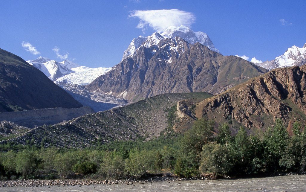
Link Sar is one of the unclimbed peaks in Karakorum. There is a tow route going to Link Sar form Hushe K7 and Kaberi Glacier Kondus valley. The west bay of the Kaberi Glacier below Link Sar was probably first visited by western mountaineers in 1964, when a German expedition used it to approach the flanks of the unclimbed K6 Read more...
-
Trivor is one of the high peaks of the Hispar Muztagh, a subrange of the Karakoram range in the Gilgit-Baltistan of Pakistan. Its height is often given as 7,728 metres, but this elevation is not consistent with photographic evidence. The height given here is from a Russian 1:100,000 topographic map. There have been only two successful climbs of this peak; Read more...

