-
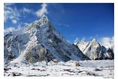
FeaturedBiarchedi Peak (Urdu: بیارچیڈی) is a mountain peak on the south of the Baltoro Glacier in Pakistan. In its southwest is Masherbrum(7,806 m) and in its east is the Mitre Peak (6,010 m). In its northeast is the Biarchedi Glacier that flows north into the Baltoro Glacier. Read more...
-
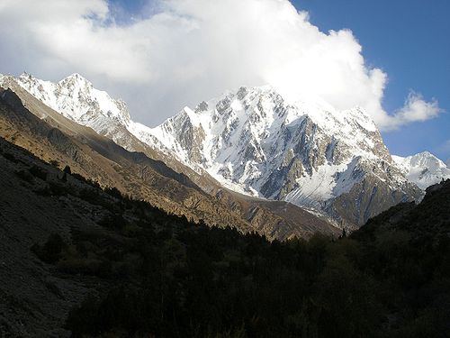
FeaturedMiar Peak (Urdu: میار چوٹی) is a mountain in Hispar Valley in the Nagar Valley of Gilgit-Baltistan, Pakistan. It lies southeast of Diran peak (7,257 m) and northwest of Malubiting peak (7,428 m). Read more...
-
FeaturedThe Haramosh II is a mountain in the Karakorum Mountains in Pakistan . The 6666 m high Haramosh II is located in the Rakaposhi Haramosh Mountains in the “Little Karakorum”. It is connected by a ridge with the 12.94 km southwest Haramosh ( 7406 m ). In between is a 5700 m saddle and the Mani Peak ( 6685 m ), a side summit of the Haramosh. Along the west flank of Haramosh II, the Haramosh Glacier flows north to the Chogolungma Glacier . On the opposite side of the Haramosh Glacier rises Laila Peak ( 6986 m ). To Read more...
-
FeaturedPhuparash Peak is a mountain in Hispar Valley in the Gilgit District, Gilgit–Baltistan, Pakistan. It lies east of Miar Peak (6,824 m). Read more...
-
FeaturedGanalo Peak (Urdu: گینالو) is a subsidiary peak of Nanga Parbat in Pakistan’s western Himalayas. Anchoring the rock and ice battlements northwest of Nanga Parbat’s main summit, Ganalo rises 9,000 feet above the Rakhiot Glacier and 8,000 feet above the nearby Rakhiot Base Camp. The remote village of Beyal rests at its northern base. Ganalo Peak is easily viewed from Fairy Meadows, a popular trekking destination high above the Indus River Read more...
-
FeaturedThe Gul Lasht Zom is a 6657 m high mountain in the Hindu Kush in the Pakistani province Khyber Pakhtunkhwa . The Gul Lasht Zom can be seen as a pyramid of snow from the Upper Tirich Glacier . The mountain rises west of the Upper Tirich Glacier 14.5 km northwest of the Tirich Mir and 12.3 km southwest of the Noshak . To the west, it is drained by the Arkari Gol , a left tributary of the Lutkho . 1.9 km east Read more...
-
FeaturedThe Thui II is one of the highest mountains of the Hindu Raj -Gebirges. Thui II is located on a northern spur off the main ridge of northern Hinduraj. It is located on the district boundary of Chitral and Ghizer . The 6523 m high mountain is flanked to the west by the Risht Glacier and to the east by the Ponarillo Glacier . Both glaciers flow north to Yarkhun . The Thui I is located 10 km to the east.a Read more...
-
FeaturedThe Thui I (other names: Karol Zom and Chatir Zom ) is the second highest mountain in the Hinduraj range . Thui I is located on the main ridge of northern Hinduraj on the district boundary of Chitral and Ghizer . The mountain reaches an altitude of 6662 m . The eastern Kotalkash glacier separates Thui I from Koyo Zom , the highest mountain in the Hinduraj. Another glacier is located on its western flank. Both glaciers flow north to Yarkhun . On the southern flank of Thui Read more...
-
FeaturedThe Purian Sar is a 6293 m high mountain in the extreme west of the Karakorum Mountains in the Pakistani Special Territory Gilgit-Baltistan . Read more...
-
FeaturedThe Mango Gusor is a 6288 m high mountain in the Masherbrum Mountains , a chain of Karakorum . Mango Gusor is located south of the Braldu River Valley in the western part of the Masherbrum Mountains. The mountain lies 12.5 km south of the confluence of the Biafo Glacier Valley in the river valley of the Braldu. The Masherbrum is 35 km further east. The mountain is the highest peak and eponymous for the surrounding mountain range, Read more...
-
FeaturedThe Koser Gunge is a mountain in the Masherbrum Mountains , a chain of Karakorum . The Koser Gunge is located east of the Shigar River Valley in the far west of the Masherbrum Mountains . The mountain is eponymous for the surrounding mountain group, the so-called Koser-Gunge group . The first ascent took place in 1899 by the American Fanny Bullock Workman . The height is given in the literature as 6401 m . According to the topographic map Read more...
-
FeaturedThe Buni Zom group is a prominent mountain area of Chitral, in the Hindu Raj range of Pakistan. Buni Zom (main) is the highest peak of the group with an elevation of 6,542 m (21,463 ft). It is located about 50 km (30 mi) northeast of the town of Chitral, and about 50 km (30 mi) east of Tirich Mir (7,708 m), the highest peak in the Hindu Kush. Map of Buni Zom In 1957, the Read more...

