-
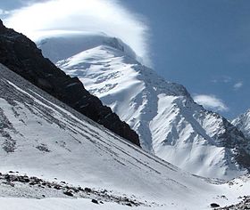
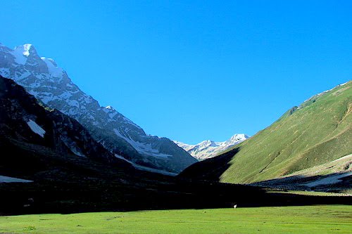
The area is quite isolated from Taliban areas. Moreover, Wakan is populated by Ismaili people that are in general against Taliban. Biggest threat is that you will be looted by local service provider. But we will get to it later. Well, that not only threat, that certain. Compare to standard 7k peaks where you can get nice service in BC Read more...
-
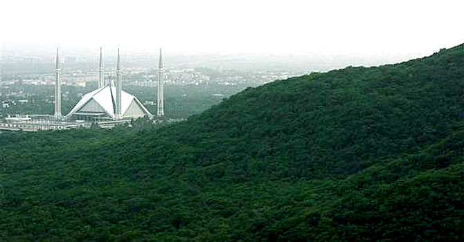
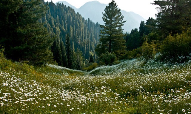
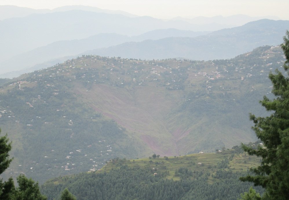
Margalla Hills National Park, is located in the foothills of the Himalayan range. The topography is rugged, with numerous valleys and many steep and even precipitous slopes. The area is drained by the River Kurang and its tributaries, which flow into the River Soan. This park is the most accessible park in Pakistan due to its close proximity to the Read more...
-
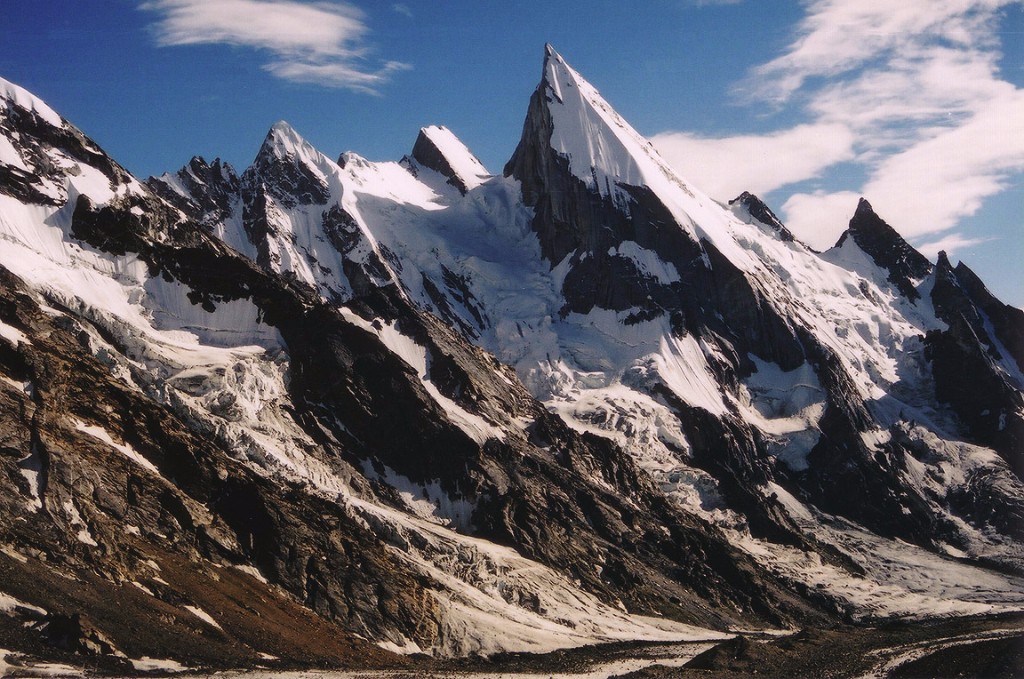
FeaturedLaila Peak 6,096 meters, Hushe Valley is one of the most beautiful and worth seeing sights of the snow covered mountain of the world. The outstanding Laila Peak is located near Gondogoro glacier. The Laila Peak its distinctive spear-like shape sticking out in the sky has attracted trekkers passing by. Laila Peak got attention in 2005, when Fredrik Ericcson and Read more...
-
Natural vegetation comprises forests, shrubs and grasses, and is determined by climatic conditions and soil types. The climate of Pakistan is too dry for forests, except in the northern hilly and sub-montane belts. Soil formation on the hill slopes is a prerequisite for forest growth, but human practices in these areas have contributed to erosion, rather than to soil formation. Read more...
-
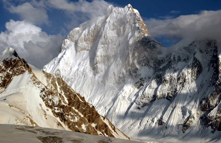
Baintha Brakk is famous for being one of the hardest peaks in the world to climb. It is steep and craggy and 7,285 metres (23,901 ft) high. Officially it lies in the Panmah Muztagh, a subrange of the Karakoram mountain range, North Pakistan, but it is a disputed border with India claiming it to be an integral part of the Indian state of Jammu and Read more...
-
FeaturedMalika Parbat peaks are situated in Kaghan Valley. The ridge-line that contains peaks of name Malika Parbat has 04 prominent summits. Malika Parbat (South) also the main peak and the highest in whole of Kaghan. This peak was climbed by Pakistani Rashid Butt and Omer Bin Abdul Aziz in 1998, however, Rashid Butt fell to his death while climbing down Read more...
-
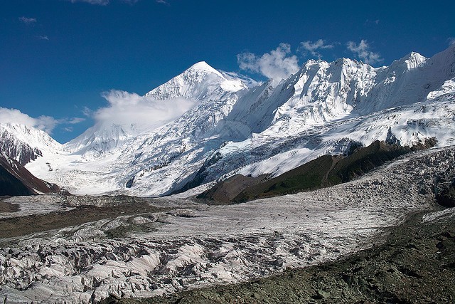
FeaturedDiran is located in the Rakaposhi-Haramosh Range in the western karkarm. Viewed from the Hunza Valley, Diran is a gentle pyramid and is considered to be the second easiest 7000m peak in the Karakoram after Spantik, although it has a reputation for avalanches. The Karakoram Highway runs up the Hunza Valley and gives easy access to the mountain. The first attempt Read more...
-
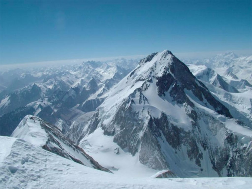
Gasherbrum is a remote group of peaks located at the northeastern end of the Baltoro Glacier in the Karakoram range of the Himalaya on the border of the Chinese-administered Shaksgam Valley and the Gilgit-Baltistan territory of Pakistan. The massif contains three of the world’s 8,000 metre peaks. Although the word “Gasherbrum” is often claimed to mean “Shining Wall”, presumably a Read more...
-
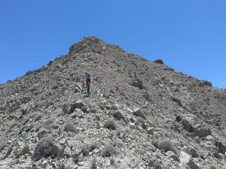
Koh-i-Takatu is a mountain located in the north of Quetta District of Balochistan Province, Pakistan. It is part of the Sulaiman Mountains range. It has two peaks. It is also called Takatu mount or simply Takatu Mountain. Koh-i-Takatu has an elevation of 3,472 meters (11,391 ft) It is the second highest peak of Quetta District and the third highest peak of Balochistan province. Koh-i-Takatu is Read more...
-
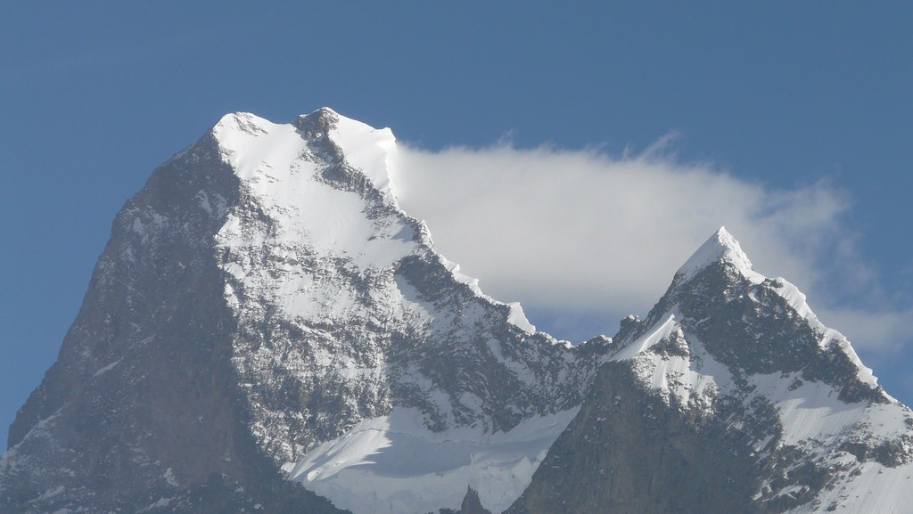
Muztagh Tower (also: Mustagh Tower; Muztagh: ice tower), is a mountain in the Baltoro Muztagh, part of the Karakoram range on the border of the Gilgit–Baltistan region of Pakistan and the Xinjiang Uygur region of China. It stands between the basins of the Baltoro and Sarpo Laggo glaciers. The Mustagh Tower was made famous by a spectacular but somewhat misleading photograph taken by Vittorio Selladuring the 1909 Italian expedition to K2. Taken from the upper Baltoro, due southeast of the mountain, the Read more...
-
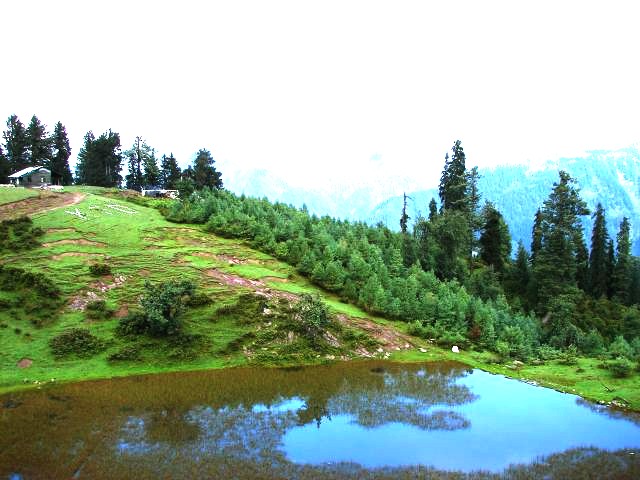
Mukeshpuri is a 9,200 feet elevated mountain in the Nathiagali Hills where one can reach by trekking either from Nathiagali trek or Dunga gali trek. It is 90 kilometers north of Islamabad, Pakistan, just above Dunga Gali in the Nathiagali area of Ayubia National Park. Much of it the mountain is covered with Western Himalayan sub-alpine conifer forests. According to Read more...

