-
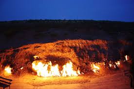
Yanar Dag (Azerbaijani: Yanar Dağ, meaning “burning mountain”) is a natural gas fire which blazes continuously on a hillside on the Absheron Peninsula on the Caspian Sea near Baku, the capital of Azerbaijan (a country which itself is known as “the Land of Fire”). Flames jet into the air 3 metres (9.8 ft) from a thin, porous sandstone layer. Administratively, Yanar Dag belongs to Absheron District of Azerbaijan. Unlike mud volcanoes, the Yanar Dag flame Read more...
-
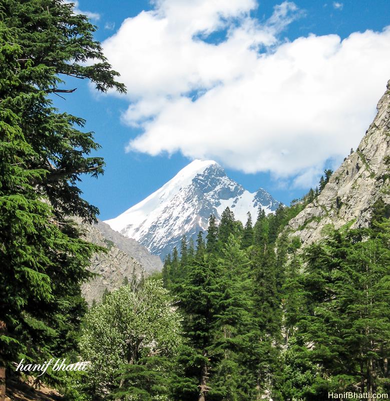
Falak Sar also known as Falak Sair) is the highest mountain peak in Ushu Valley of Swat, Pakistan at an elevation of 5,918 metres (19,416 ft), it is considered the highest peak of the Swat district in the Hindu Kush mountains range, followed by Mankial mountain peak. This mountain was climbed for the first time by W.K.A Berry and C.H. Tyndale-Biscoe Read more...
-
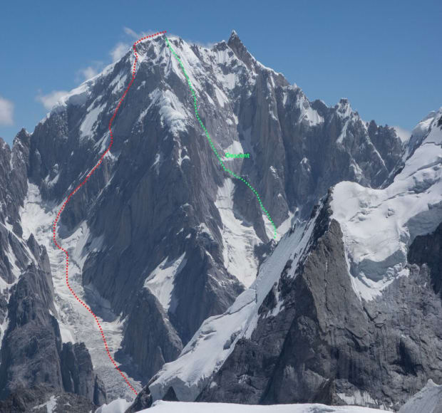
Uli Biaho is a mountain near Trango Towers and Baltoro Glacier in the Gilgit–Baltistan area of Pakistan. It consists of two main peaks, Uli Biaho Tower (listed by Roskelley as 19,957 feet, and by Kopold as 6,109 metres or 20,043 feet); and Uli Biaho Peak (Kopold: 6417 m), which as of 2006 was unclimbed. Uli Biaho Tower was climbed alpine-style Read more...
-
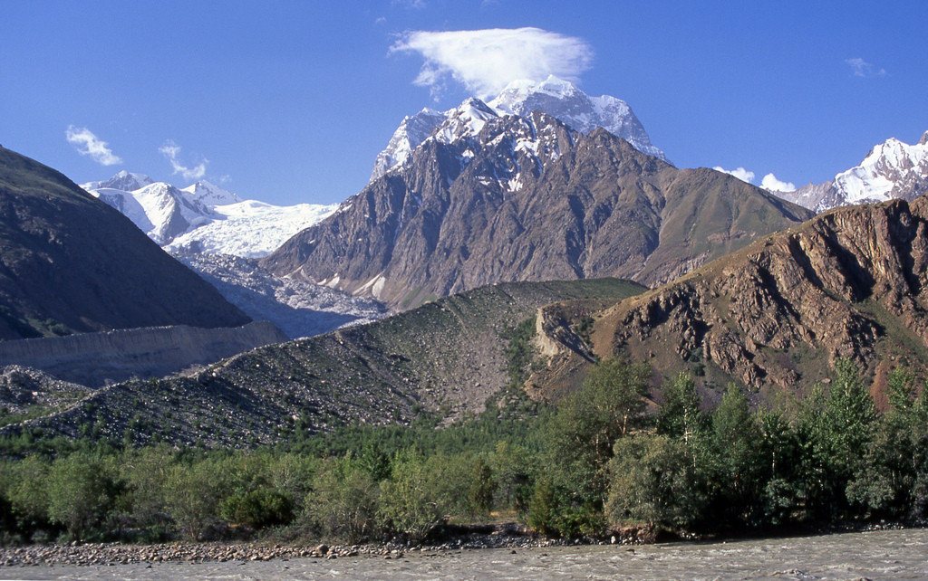
Koyo Zom is the highest peak in the Hindu Raj mountain range in Pakistan at 6,872 metres (22,546 ft). The Hindu Raj mountain range sits between the Hindu Kush in the west and the Karakoram in the east. Koyo Zom is located on the boundary of the Chitral-District and Gilgit-Baltistan provinces of Pakistan. It was first climbed by an Austrian expedition Read more...
-
Link Sar is one of the unclimbed peaks in Karakorum. There is a tow route going to Link Sar form Hushe K7 and Kaberi Glacier Kondus valley. The west bay of the Kaberi Glacier below Link Sar was probably first visited by western mountaineers in 1964, when a German expedition used it to approach the flanks of the unclimbed K6 Read more...
-
Trivor is one of the high peaks of the Hispar Muztagh, a subrange of the Karakoram range in the Gilgit-Baltistan of Pakistan. Its height is often given as 7,728 metres, but this elevation is not consistent with photographic evidence. The height given here is from a Russian 1:100,000 topographic map. There have been only two successful climbs of this peak; Read more...
-
Shispare is one of the high peaks of the Batura Muztagh, which is the westernmost subrange of the Karakoram range. Alternate forms of the name of this peak are Shispare Sar and Shisparé Sar. Shispare lies east of the Batura Wall, which is the highest part of the Batura Muztagh. The Hunza River curves around the southwest, west, and northwest Read more...
-
Kanjut Sar or Kunjudh Sar as pronounced in “Wakhi” is a mountain located in the Hispar Muztagh, a subrange of the Karakoram mountain range. Kunjudh Sar in wakhi language mean that which overlooks Kunjudh, or above Kunjudh, while Khujudh is the wakhi name for Lower Hunza. It is the 26th highest mountain on Earth and the 11th highest in Pakistan. Read more...
-
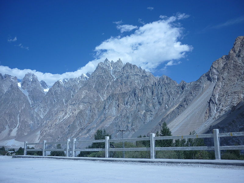
The Tupopdan (also Tlipobdan ) is a mountain in the northern Karakorum in the Pakistani Special Territory Gilgit-Baltistan . The summit, with a height of 6106 m (according to other sources 6125 m ) forms the southwestern end of the Ghujerab Mountains . The Tupopdan rises 12 km north-northeast of Passu . On its southwestern flank, the Shimshal flows into the Hunza . The Tupopdan towers above the valley floor at 3500 m. 4.35 km further northwest is the 6055 m high Jurju Khona Shar . The name of the mountain means something Read more...
-
Uli Biaho is a mountain near Trango Towers and Baltoro Glacier in the Gilgit–Baltistan area of Pakistan. It consists of two main peaks, Uli Biaho Tower (listed by Roskelley as 19,957 feet, and by Kopold as 6,109 metres or 20,043 feet); and Uli Biaho Peak (Kopold: 6417 m), which as of 2006 was unclimbed. Uli Biaho Tower was climbed alpine-style via the direct East Face by John Roskelley et al. All four US climbers Read more...
-
Surveyed as K12, this mountain is in the Saltoro Muztagh which is a subrange of the Karakoram range in the Siachen region, near Jammu and Kashmir. It lies near the Line of Control. Its name comes from its designation given during the original survey of the Karakoram range. K12 lies to the southwest of the Siachen Glacier; the K12 glacier Read more...

