-
FEATUREDFeaturedA very good grocery point where one can find all he needs at competitive rates.A well managed mall with good services staff n variety of stuffs.A good family shopping mall having all day to day requirements Read more...
-
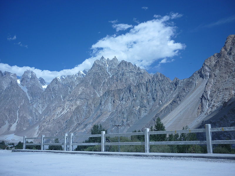
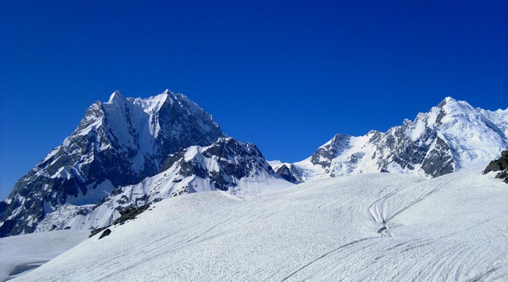
The Tupopdan (also Tlipobdan ) is a mountain in the northern Karakorum in the Pakistani Special Territory Gilgit-Baltistan . The summit, with a height of 6106 m (according to other sources 6125 m ) forms the southwestern end of the Ghujerab Mountains . The Tupopdan rises 12 km north-northeast of Passu . On its southwestern flank, the Shimshal flows into the Hunza . The Tupopdan towers above the valley floor at 3500 m. 4.35 km further northwest is the 6055 m high Jurju Khona Shar . The name of the mountain means something Read more...
-
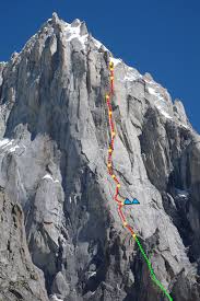
Uli Biaho is a mountain near Trango Towers and Baltoro Glacier in the Gilgit–Baltistan area of Pakistan. It consists of two main peaks, Uli Biaho Tower (listed by Roskelley as 19,957 feet, and by Kopold as 6,109 metres or 20,043 feet); and Uli Biaho Peak (Kopold: 6417 m), which as of 2006 was unclimbed. Uli Biaho Tower was climbed alpine-style via the direct East Face by John Roskelley et al. All four US climbers Read more...
-
FeaturedCanteen Stores Department (‘CSD’) is a Pakistani chain of retail stores headquartered in Karachi Pakistan It is run by the Pakistani Ministry of Defence.[3] It is present in all cantonments of Pakistan. Read more...
-
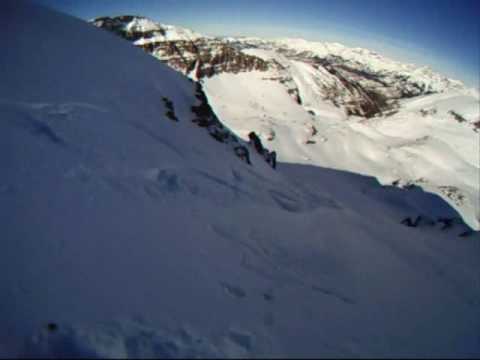
Surveyed as K12, this mountain is in the Saltoro Muztagh which is a subrange of the Karakoram range in the Siachen region, near Jammu and Kashmir. It lies near the Line of Control. Its name comes from its designation given during the original survey of the Karakoram range. K12 lies to the southwest of the Siachen Glacier; the K12 glacier Read more...
-
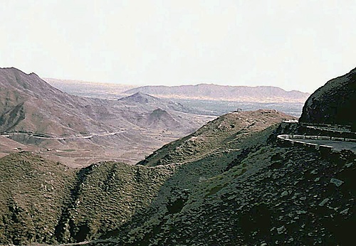
Sharāra in Khyber Pakhtunkhwa is located in Pakistan about 83 mi (or 133 km) north-west of Islamabad, the country’s capital town. We know of 9 airports close to Sharāra, of which one is a larger airport. The closest airport in Pakistan is Saidu Sharif Airport in a distance of 6 mi (or 10 km), North-East. Besides the airports, there are Read more...
-
Thar Desert, also called Great Indian Desert, arid region of rolling sand hills on the Indian subcontinent. It is located partly in Rajasthan state, northwestern India, and partly in Punjab and Sindh (Sind) provinces, eastern Pakistan. The Thar Desert covers some 77,000 square miles (200,000 square km) of territory. It is bordered by the irrigated Indus River plain to the Read more...
-
Fairy Meadows, named by German climbers (German Märchenwiese, “fairy tale meadows”)and locally known as Joot, is a grassland near one of the base camp sites of the Nanga Parbat, located in Diamer District, Gilgit-Baltistan, Pakistan. At an altitude of about 3,300 meters above the sea level, it serves as the launching point for trekkers summiting on the Rakhiot face of Read more...
-
The Indus River (locally called Sindhū) is one of the longest rivers in Asia. Originating in the Tibetan Plateau in the vicinity of Lake Manasarovar, the river runs a course through the Ladakh region of Jammu and Kashmir, towards Gilgit-Baltistan and the Hindukush ranges, and then flows in a southerly direction along the entire length of Pakistan to merge into Read more...
-
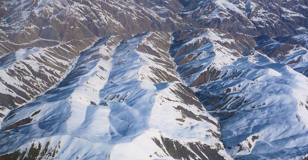
Shayaz is a mountain in the Hindu Kush mountain range of Asia. Located in Khyber Pakhtunkhwa, Pakistan, it has a summit elevation of 6,026 m above sea level Rank Summit Name Region Country Elevation (m.) Prominence (m.) Saddle (m.) Latitude Longitude ID Code Elev. (ft.) Prom. (ft.) 9 Shayaz Hindu Kush Pakistan 6026 1797 4229 36º38’54″N 072º49’42″E AS315 19770 5896 Prominence Clean Prominence: Read more...
-
Shani Peak is a mountain in the south of Naltar Pass in the Gilgit District of Gilgit-Baltistan, Pakistan. It lies in the west of Snow Dome (5,029 m) and in the northwest of Mehrbani Peak (5,639 m). To its east streams the Shani Glacier towards Naltar Valley. The crest is otherwise called Khaltar Peak. Information About this Peak: Shani Peak, Read more...
-
This peak is situated in the Saltoro and Masherbrum ranges. The nearby glaciers are Kaberi and Charakusa. Possible route to the peak is from Khapulo in Baltistan through Tagas, Dumsum and Kaberi glacier. Some maps show its height as 6,934m, while others show it as 6,935m. It was in 1955 that members of Harvard Mountaineering Club Karamoram Expedition examined K-7 Read more...
-
Blue Mountain Hotel is very famous hotel in this area. Its 1 star hotel located at Jheel Road in Naran. The management staff is very well trained and the hotel rooms are very well maintained. The hotel outlook is also very eye catching for the visitors to stay and enjoy their quality time in cheap prices. Blue Mountain Hotel, Read more...
-
FEATUREDFeaturedThe ultimate place for generating profits! This is where the select communities of Bahria Town converge. Bahria Town Phases 1-5 are placed around the location of the Civic Centre. Not only the roads from all the Phases lead up to this commercial hub, it is also clearly visible from all the different phases. At night it gives even a more Read more...

