-
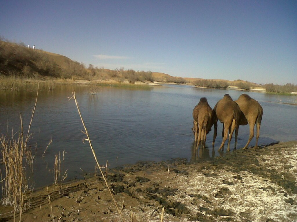
Zangi Nawar is a lake situated at Noshki balochistan ,Nushki initially belongs to rakhshanis i.e., Mandaee, andtribes. Later onand i tribes along with Pirkani, and tribes as border security force against Afghan invaders. This lake is a very slow flowing body of open water which occupies a land depression. This group of water bodies includes ponds and impoundments. Lakes Read more...
-
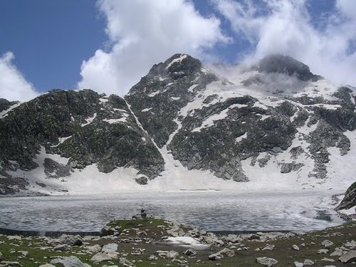
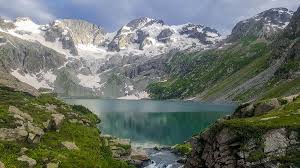
Saidgi Dhandh is a lake in the upper reaches of Ushirai Dara close to the Dir mountains, Khyber Pakhtunkhwa Province of Pakistan. It is located at an average elevation of 12000 feet above the sea level. Saidgai Dand is located to the northwest of Gabin Jabba. The temperature is normally about 5°C to 10 °C during hot months. Mostly Read more...
-
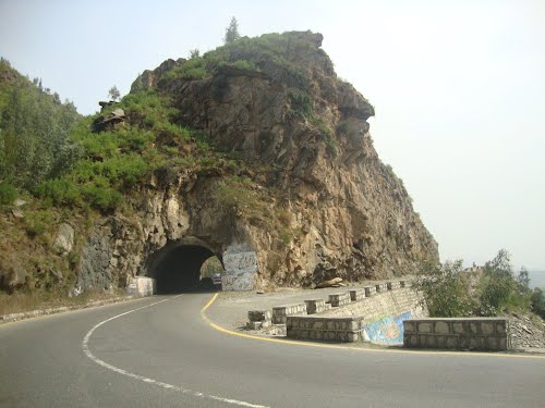
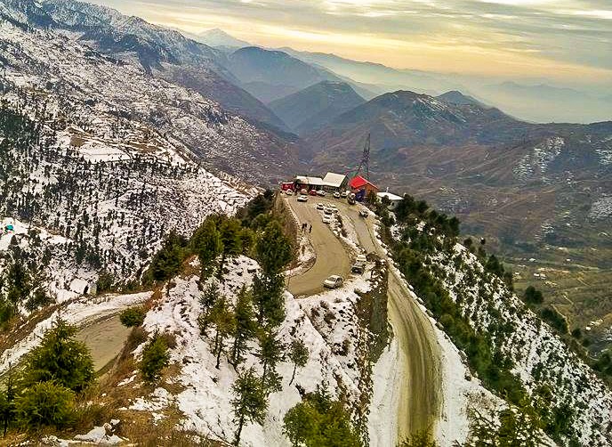
The Malakand Pass is a mountain pass in Malakand District, Khyber Pakhtunkhwa, Pakistan. The pass road begins at Dargai. The road across the pass is in good condition, but is always crowded with a continuous stream of trucks. The pass road begins at Dargai. The road across the pass is in good condition, but is always crowded with Read more...
-
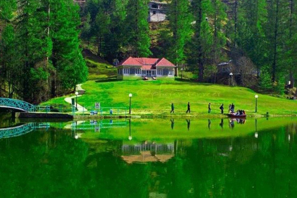
It is situated 20 kilometers from Rawalakot, at an altitude of 1981 meters. Its scenic beauty and impressive surrounding is compelling and attracts tourists to reach here to enjoy the nature. Amidst the captivating beauty of Banjosa, the artificial lake reflects the dense forest standing along the surroundings of the resting calm waters of Banjosa Lake. The nearby worth-seeing areas Read more...
-
Current time in Lunda is now 02:58 PM (Friday). The local timezone is named Asia / Karachi with an UTC offset of 5 hours. We know of 10 airports close to Lunda, of which two are larger airports. The closest airport in Pakistan is Rawalakot Airport in a distance of 26 mi (or 42 km), South-West. Besides the airports, there Read more...
-
Ganga Choti is a peak near the towns of Sudhan Gali and Bani Minhasan located in Bagh District, Azad Kashmir, Pakistan Read more...
-
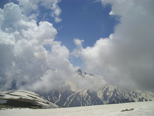
Daral lake is situated to the northeast of Sidgai Lake and can be accessed through Saidgai after two three hours rigorous trekking. The trail to Daral is full of fun and amusement because it runs over sky touching heights of the mountains provides spectacular sights and panoramas for the beauty hungry eyes of nature lovers. A close look towards the Read more...
-
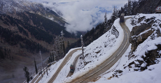
This road is between the mountains on each side of it. While crossing this 145KM long track with dangerous curves, every year dozens of people die. Most of them are the truck drivers. That’s why, in locals, this pass is known as Hell’s road. Unfortunately the people how die during the winter periods are buried under the snow and can Read more...
-
The famous Malakand Pass, Near Dargai, KPK MALAKAND PASS, a mountain pass in the North-West Province of India, connecting the British district of Peshawar with the Swat Valley. It is now a military post and the headquarters of a political agency. It came into prominence for the first time in 1893 during the Chitral campaign, when 7000 Pathans held it against Read more...
-
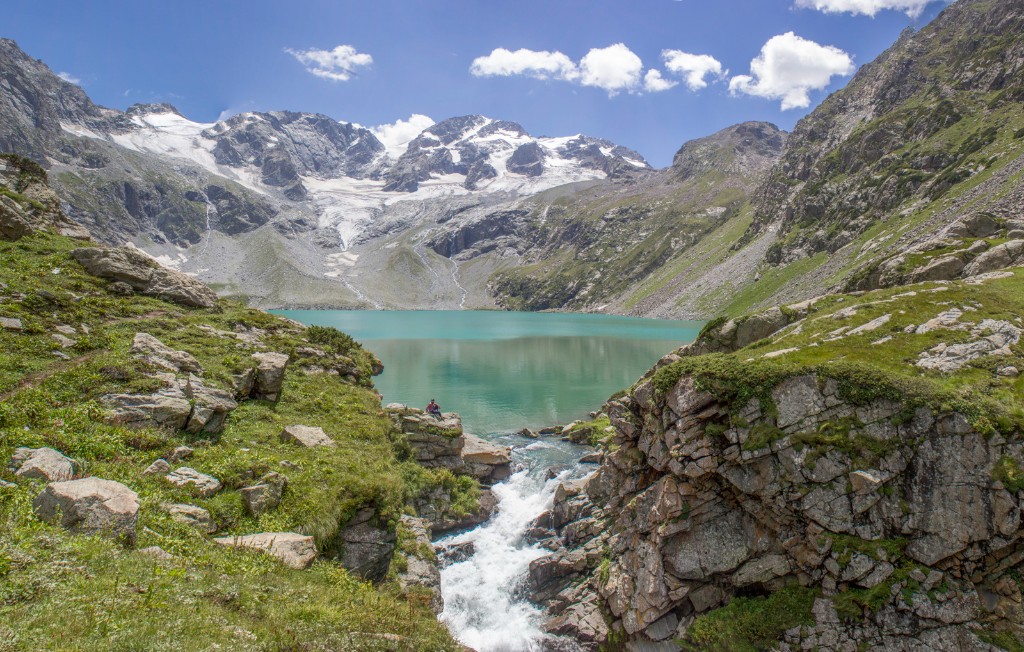
Katora Lake which mean in Pashto bowl like in shape and is being named due to its appearance. It is an alpine glacial lake located in the upper reaches of Jahaz banda, Kumrat valley Upper Dir, Khyber Pakhtunkhwa Province. Read more...
-
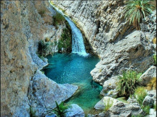
Pir Ghaib Waterfalls are cascading waterfalls located in the Bolan Valley, about 70 kilometers from Quetta, Balochistan. The cascades divide into two separate waterfalls and flow into a large natural pool. Read more...
-
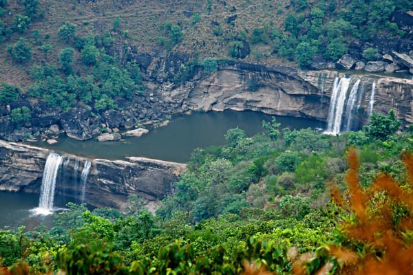
Another gem from Azad Kashmir is Gulpur Waterfall located in the vicinities of Kotli District. It is tremendously beautiful and falls from relatively shorter height in the lake. Surroundings are also explicit. The view of water falling from the rocky top is amusing. There are reasonable dining and staying options in this area. It is also a recommended summer spot. It is tremendously beautiful and Read more...
-
located in the Khyber-Pakhtunkhwa province of Pakistan. The district headquarters are located at Alpuri. It was previously a subdivision of Swat District, but was upgraded to the status of a district on July 10, 1995 by Aftab Khan Sherpao. The district is bounded in the north by Kohistan District, in the east by Battagram District and the tribal area of Read more...
-
It takes 6 hours, 36 minutes to travel from Aloch Stream to Rawalpindi. Approximate driving distance between Aloch Stream and Rawalpindi is 330 kms or 205.1 miles or 178.2 nautical miles . Travel time refers to the time taken if the distance is covered by a car. On the table above you can see driving distance in various units namely kilo metres, miles and nautical miles. 1 Mile is about 1609 metres. 1 Nautical Read more...

