-
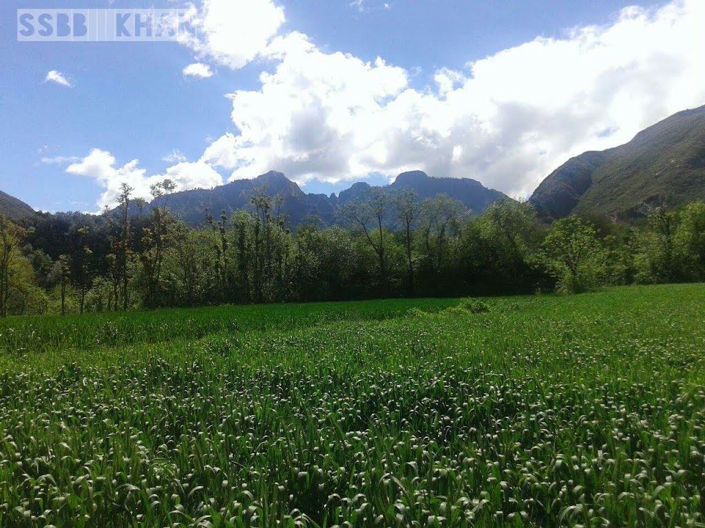
Touring Bampokha in Pakistan! Bampokha in the region of North-West Frontier Province is located in Pakistan – some 76 mi (or 123 km) North-West of Islamabad, the country’s capital. Read more...
-
Map driving distance from Swat to Mankial Sar is 83 Km … Swat to Khyber Pakhtunkhwa, Pakistan Travel Time from Swat to Khyber Pakhtunkhwa, Pakistan Swat … Read more...
-
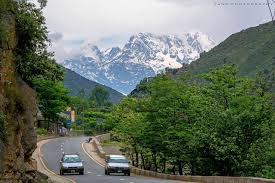
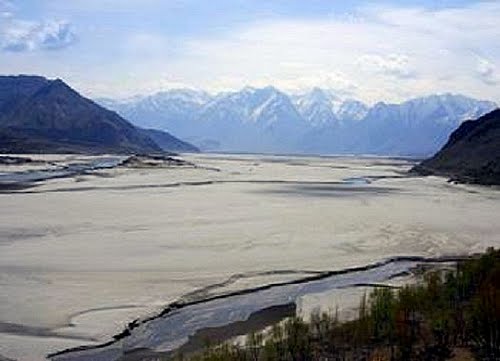
Chakesar Kandao. Chakesar Kandao is a pass and is located in North-West Frontier Province, Pakistan. … Khan Khwar Dam under Construction,N.W.F.P Read more...
-
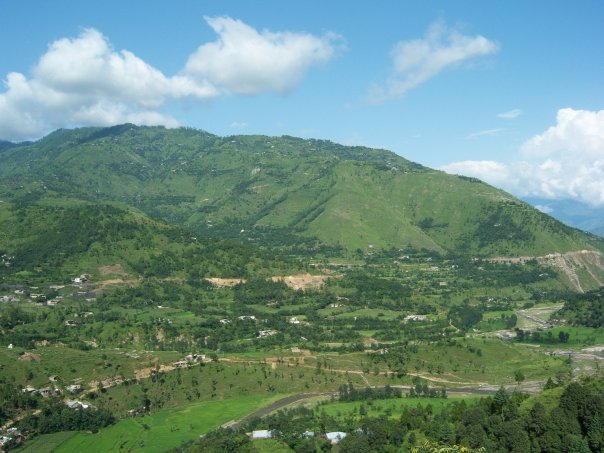
The picture with the title madyan shahgram was taken by the photographer gkmubarak on 08 February 2011 and published over Panoramio. madyan shahgram … Read more...
-
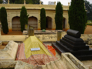
Tipu Sultan (ٹیپو سلطان) was the eldest son of Haider Ali (حیدرعلی) and his mother’s name was Fakhr-un-Nissa (فخرالنساء), born on 20th November 1750 A.D. at Devanahalli. Haider Ali (حیدرعلی) named his son after a great Sufi saint namely Tipu Mastan Aulia (ٹیپومستان اولیاء) Haider Ali gave good education to his son Tipu Sultan ۔(ٹیپو سلطان)Right from his early years he Read more...
-
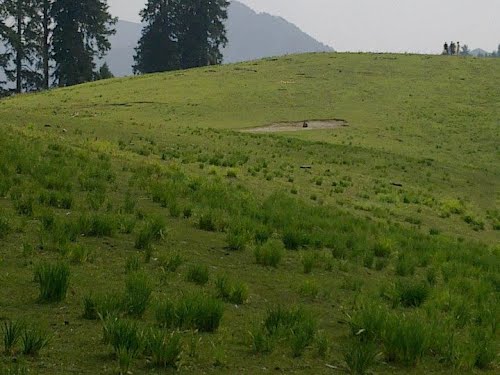
The picture with the title sky land karo darra dir was taken by the photographer MUNIR KHALI -khall dir pakistan on 04 November 2012 and published over … Read more...
-
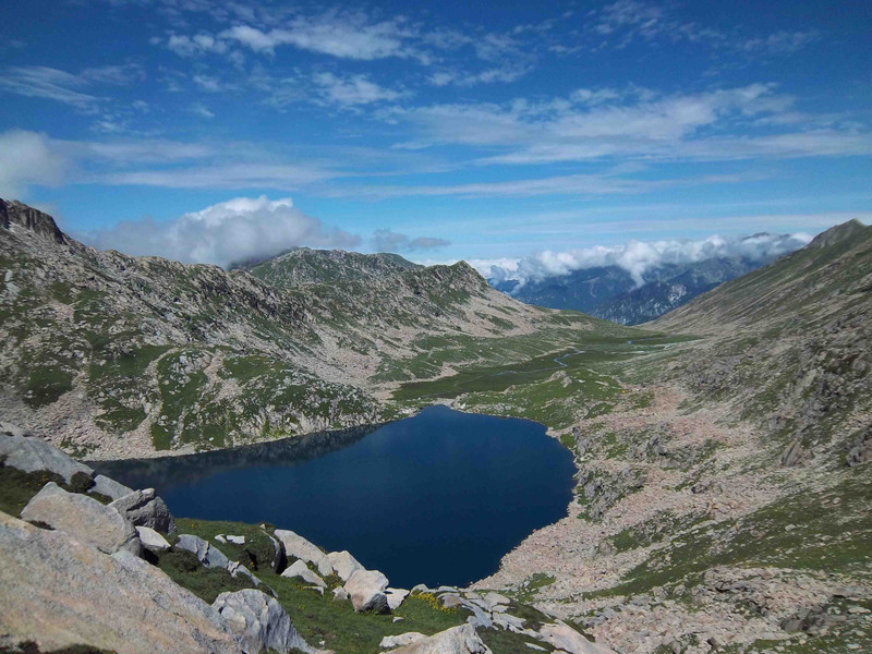
Saidgai Danda is located in the outer limits of Dir Upper and Swat Valley. Danda means lake in the local Pashto Language. It lies in the Hindukush chain of mountains. Several small and large lakes are scattered in the immediate vicinity of Saidgai Danda. Flowered by tulips, daffodils and wild dandelions in April/May, Saidgai Danda is one of the most Read more...
-
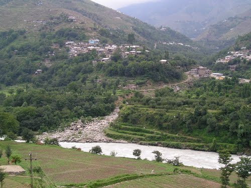
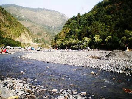
Suvastu of the Aryan and the present day river Swat commences at Kalam with the confluence of Ushu and Utror Rivers and flows for about 160 kilometer across the valley up to Chakdara. The total length of the River is 250 kilometers from Kalam to River Kabul near Charsadda. Many large and small tributaries like Gahil, Mankial, Daral, Chail, Barwai, Read more...
-
Forok Tso is a lake and is located in Gilgit-Baltistan, Pakistan. The estimate terrain elevation above seal level is 2372 metres. Read more...
-
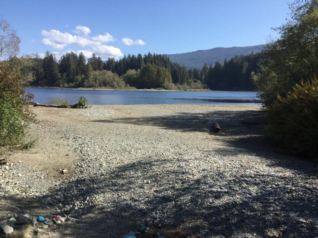
Description: A medium site on a small lake at the widening of the San Juan River. This popular campground has a tendency to flood in heavy rain but should be high and dry during the popular summer months. This is an open, RV friendly site with a beautiful sandy beach. . Things to Do: Beach – Relax on the beach at the lake. Read more...
-
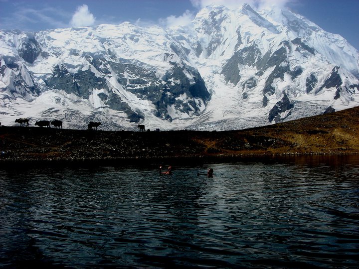
This lake was precisely for fairies who would descent from Rakaposhi for their sacred bath. No longer happens as humans have polluted it.Rakaposhi is the crown jewel of the beauty of Nagar and Hunza valley Read more...

