-
Swat is known for its scenic sites and tourist resorts but still there are many spectacular places in the valley from thick majestic forests to mysterious lakes and waterfalls, which are unexplored. Noted among them is Jarogo Waterfall in Chatekal valley of Matta Tehsil, some 55 kilometres from Mingora towards northwest. Nestled deep in the two gigantic mountains, the waterfall is Read more...
-
Khānko Dhand is a lake and is located in North-West Frontier Province, Pakistan. The estimate terrain elevation above seal level is 3889 metres. Variant forms of spelling for Khānko Dhand or in other languages: Khānko Dhand (en), Khanko Dhand, Khānko Dhand. Read more...
-
Panjkora Valley is located in northern Pakistan. The Panjkora Valley contains important sites of the Gandhara grave culture. On the west side of the Panjkora River is the excavated site of Balambat. The site has been occupied continuously since the time of the Aryans in 1500 BC. Houses dating from 500 BC have been discovered here. Fire altars were also Read more...
-
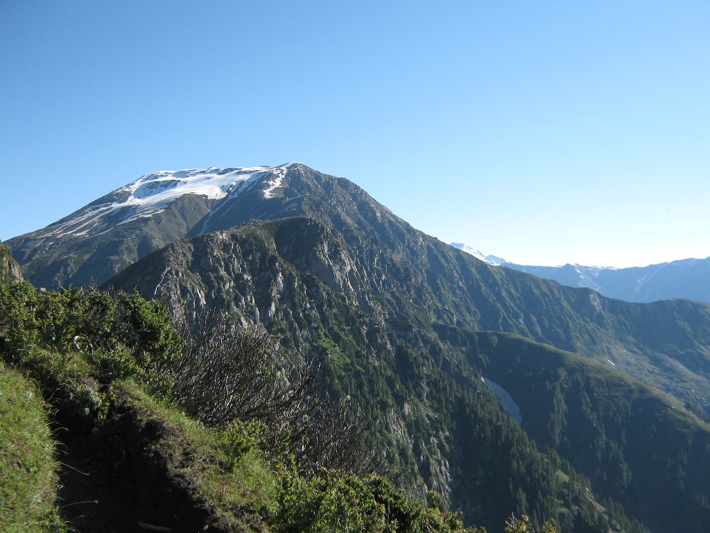
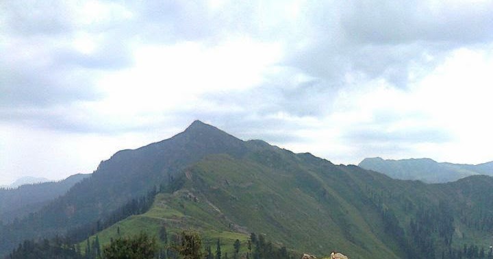
Miranjani is the highest peak in the galiyat region. Galiyat is a region in District Abbottabad, Khyber Pakhtunkhwa Province. The region is accessible from Murree, Muzaffarabad & Abbottabad. Miranjani has an altitude of 9872 Ft. (3008 M). The peak lies in the Ayubia National Park. There’s only one track leading to the top from Nathia Gali. Another track is coming Read more...
-
Mukeshpuri is a 9,200 feet elevated mountain in the Nathiagali Hills where one can reach by trekking either from Nathiagali trek or Dunga gali trek. It is 90 kilometers north of Islamabad, Pakistan, just above Dunga Gali in the Nathiagali area of Ayubia National Park. Much of it the mountain is covered with Western Himalayan sub-alpine conifer forests. According to Read more...
-
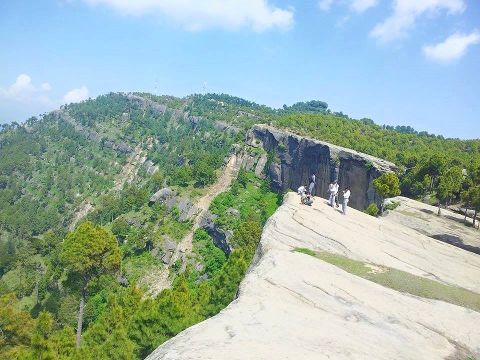
The place is called PunjPeer and is an amazing rock formation stretching over a large area. The rocks are located in Kahuta district. It takes about two and a half hours (from Islamabad) to reach the place, followed by a hike of about 40-45 minutes. If you have the stamina, you can hike all the way up to the ridge which will Read more...
-
The large and green Thalle Lungma leads north-west from the Shyok River, 15km west of Khaplu and 85km east of Skardu. The upper valley divides, and the north branch leads over the infrequently crossed Tusserpo La (5084m), while the south branch leads over the easier Thalle La (4572m). Both passes lead to the Bauma Lungma, which runs south-west to Shigar. Read more...
-
Naltar Peak is a mountain in Naltar Valley in the Gilgit District of Gilgit-Baltistan, Pakistan. It lies to the southeast of Mehrbani Peak (5,639 m). Naltar village at 2800m has an army ski-training resort and is a good place to chill out and take a short easy trek around the valley. It is also starting point for two longer treks, Read more...
-
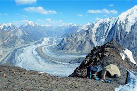
Patundas, on the ridge between the Passu and Batura glaciers, is a summer pasture used by Ghulkin villagers with a cluster of huts and livestock pens. The views from Patundas are spectacular in all directions. The rapid elevation gain of 1700m makes the previous acclimatization necessary.The area is depicted by the Deutschen Alpenverein (DAV) 1:00,000 topographic map Hunza-Karakoram. If you’re Read more...
-
Musa Ka Musala stands at an altitude of 4080 meters at the junction of Siran and Kaghan Valleys in Himalaya. The name translates to “Moses’ Mat” which has different stories associated with it. While some believe it to be named after a local shepherd with the name of Musa who used to pray at the peak, some even attribute it Read more...
-
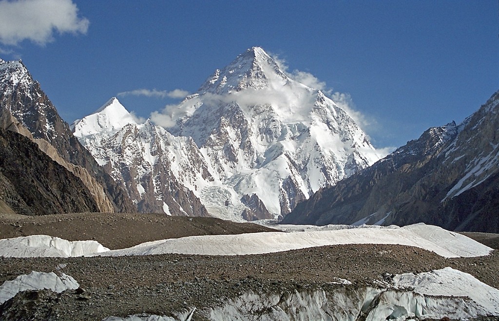
Pakistan is home to 108 peaks above 7,000 metres. and probably as many peaks above 6,000 … Most of the highest peaks in Pakistan lie in the Karakoram mountain range (which lies almost entirely in the …. Badshish, 4237, Karakoram. Read more...
-
Churko peak is the highest peak in Siran Valley, mansehra district, KPK, Pakistan. The valley gets it name from Siran river that flows through it. This river originated from Manda Gucha glacier and end in the indus river. 7 hours drive from islamabad Just off Shinkyari at a place called Manda Gucha (trek starts) 7 hours trek to base camp Read more...
-
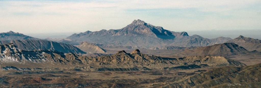
Koh-i-Takatu. Koh-i-Takatu is located in the Sulaiman Mountains range, in the Quetta. The highest peak of the range is pakPeak Loai Saar at 3,472 metres (11,391 ft) which is also the second highest peak of Quetta District, and third highest peak of Balochistan. Read more...
-
Pīr Kanthi is a peak and is located in Azad Kashmir, Pakistan. The estimate terrain elevation above seal level is 3243 metres. Variant forms of spelling for Pīr Kanthi or in other languages: Pin Kanthi, Pīr Kanthi, Pin Kanthi, Pir Kanthi, Pīr Kanthi. Read more...


