places Categories: Attractions and Hill Stations
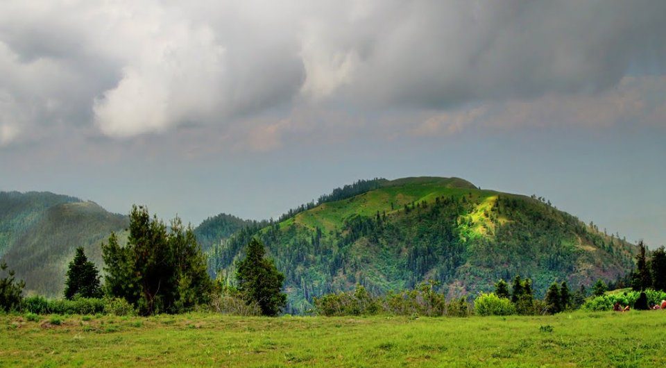
Miranjani is the highest peak in the galiyat region. Galiyat is a region in District Abbottabad, Khyber Pakhtunkhwa Province. The region is accessible from Murree, Muzaffarabad & Abbottabad. Miranjani has an altitude of 9872 Ft. (3008 M). The peak lies in the Ayubia National Park. There’s only one track leading to the top from Nathia Gali. Another track is coming from Dagri Bangla Rest house, Abbottabad. The second highest peak in the region is. The track to Miranjani is accessible round the year. The track is of medium level difficulty. It takes around 2.5 to 4 hours to reach the top from Nathia Gali. Total length of the track is around 3.5 KM. This is a dry track. You should take water along. Miranjani top is marked with a 30 feet high pole. This is the highest point on Miranjani. You can witness Pir Panjal mountain range in the kashmir, Makra & other peaks of Naran and even Nanga Parbat from the top of Miranjani. You can also witness Mushkpuri from the top of Miranjani. Namli Mera Waterfall is a small beautiful waterfall just ahead of the Wildlife Office. It is probably the only waterfall in the area. This is an artificial waterfall.
No Records Found
Sorry, no records were found. Please adjust your search criteria and try again.
Google Map Not Loaded
Sorry, unable to load Google Maps API.
-
- Miranjani, Abbottabad, Khyber Pakhtunkhwa
Abbottabad
Khyber Pakhtunkhwa
Pakistan -
Miranjani is the highest peak, at 2,992 metres in elevation, of Abbottabad District in the Khyber Pakhtunkhwa Province of Pakistan. Miranjani is an elevated peak situated in Abbottabad area of Khyber Pakhtunkhwa region, Pakistan. Miranjani track is very well known among the explorers. It takes very nearly four hours to achieve the peak through a lofty track of around 8 Read more...
-
A Picturesque Town of Pakistan Nathiagali or nathia gali, clad in Pine, Walnut and Oak Maple trees, is the most picturesque hill station in the Pakistan. From Nathiagali one take many short strolls through the pine forests.Those who are more adventurous can take a longer trek to climb the top of Mukshpuri, which is 2800 meters high. The real enthusiasts Read more...
-
The Ayubia National park is located in Murree Hills, Abbottabad District, Khyber Paktun Khuwa. It is named after Muhammad Ayub Khan the second President of Pakistan. This park was begun in 1984 and administered by Wildlife department KPK. The popularity of this forest is that these forests are “temperate coniferous forest”. These parks are surrounded by populated covered by seven Read more...
-
Lalazar is a tourist spot situated 21 km from It is located at the height of 10,499 feet (3,200 meters). Lalazar is a lush green meadow with full of wild flowers and pine and fir forest. The road to Lalazar is a typical Pakistani mountain road, with hills on one side and a deep khud (valley) on the other side. The only difference was Read more...
-
Mukeshpuri is a 9,200 feet elevated mountain in the Nathiagali Hills where one can reach by trekking either from Nathiagali trek or Dunga gali trek. It is 90 kilometers north of Islamabad, Pakistan, just above Dunga Gali in the Nathiagali area of Ayubia National Park. Much of it the mountain is covered with Western Himalayan sub-alpine conifer forests. According to Read more...
-